
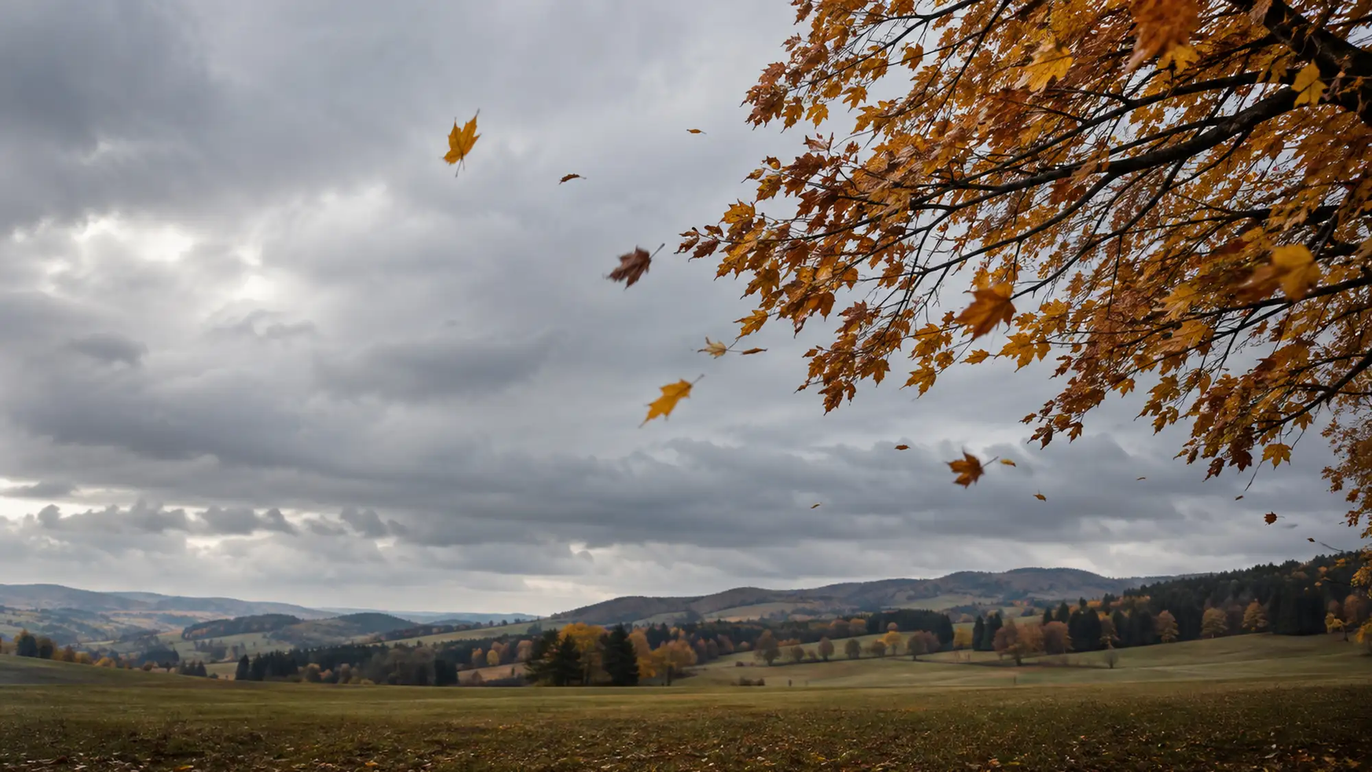
After a calm Indian summer come the days when the wind bends trees and strips their leaves. Wind is air moving from areas of higher pressure to areas of lower pressure. In autumn the temperature difference between the fast-cooling north and the still-warm south grows, and with it the differences in pressure, so the wind strengthens more often. But this is a tendency in the weather, not a rule for every day.
01The basics
Wind is air seeking to even out pressure
Air has mass and presses down on the Earth's surface. The sun, however, heats the planet unevenly. Warm air expands and rises, cold air sinks, and so areas of higher and lower pressure form above the ground. Air begins to move from an area of higher pressure, known as a high, towards an area of lower pressure, known as a low. We call this movement wind. The greater the pressure difference over a given distance, the faster the air gets moving.
On a weather map, pressure is drawn using isobars, lines joining places with the same pressure. They work much like contour lines on a walking map. Where contour lines are close together, the slope is steep. Where isobars are close together, pressure changes a great deal over a short distance, and such a steep fall in pressure is called a large pressure gradient. The more tightly packed the isobars, the steeper the gradient and the higher the wind speeds that can be expected.
Even so, the wind does not blow straight from a high to a low. The Earth rotates, so in the northern hemisphere moving air appears to veer to the right. This effect, known as the Coriolis force, comes into play in air flows that last for hours and cover large distances. As a result, wind at higher altitudes blows roughly along the isobars and circulates anticlockwise around a low. Near the ground, the wind is also slowed by friction with the terrain, trees and buildings. It is weaker there and turns away from the isobars at an angle towards lower pressure.
02Direction
How to tell where the wind is coming from
In meteorology, wind direction is given by where the wind is blowing from. A northerly wind therefore comes from the north and a westerly from the west. Weather stations measure direction with a wind vane and speed with an instrument called an anemometer. Without instruments, you can judge the direction from chimney smoke, a flag or the movement of branches. From the wind direction you can then also estimate where the low lies around which the air is flowing.
How to estimate where a low lies
- 01
Back to the wind
Stand so that the wind is blowing straight onto your back. This makes it easy to see which way the air is flowing.
- 02
Low pressure on the left
In the northern hemisphere the low lies to your left and high pressure roughly to your right. This is known as Buys Ballot's law.
- 03
Check it on the map
You can compare the position of the low with a pressure map. It is a rough rule, as in valleys and between buildings the wind often changes direction.
03Autumn
Why the wind often strengthens in autumn
The driving force behind large-scale wind is the temperature difference between the equator and the poles. In summer the sun shines almost continuously in the Arctic, so the contrast between north and south is smaller. In autumn there is less sunlight and the polar regions cool faster than areas further south. The difference between cold air in the north and warm air in the south gradually grows, and the pressure differences grow with it.
Why this contrast strengthens the wind is best seen in the pressure at altitude. Warm air is less dense, so pressure in it falls more slowly with height than in cold air. At the same altitude, pressure above the warm south is therefore higher than above the cold north, creating a pressure gradient towards the pole that strengthens with height. The air starts to move, the Earth's rotation turns it to the right, and the result is a flow from west to east. The greater the temperature difference, the steeper the gradient and the faster this westerly flow. High up, the wind is also not slowed by friction with the terrain, trees and houses, which is why it blows much faster there than at street level.
High above the ground, near the boundary between cold polar air to the north and warm tropical air to the south, lies a band of the strongest winds. It is called the jet stream. It is a core of strong winds roughly eight to eleven kilometres above the surface, usually blowing from west to east.
The jet stream also affects the weather at ground level. Lows form along the boundary between air masses of different temperatures and move from the Atlantic towards Europe. The flow at altitude can deepen them by drawing air away from their upper part. Pressure at their centre then falls, the isobars around them tighten and the wind picks up. As the temperature contrast grows in autumn, more pronounced lows can therefore form, but whether, and how close to Czechia, they head in a given week depends on the position and shape of the jet stream at the time.
Autumn is also a season of transition. The atmosphere shifts from its summer pattern to its winter one, so days of high pressure, clear skies and light winds alternate with days when a low passes over and the wind picks up. Perception plays a part too, as wind of the same strength feels more unpleasant in cold, damp air.
04Limits
Where the general explanation stops working
The seasonal contrast raises the likelihood of windier weather, but it does not determine the weather on its own. The jet stream can strengthen, weaken, shift or become wavy within a short time, so autumn can also bring long calm spells under high pressure. Nor does the general explanation tell us by how much the wind in Czechia is stronger in autumn than in other seasons. Only long-term measurements at weather stations can show that. Severe windstorms also occur throughout the colder half of the year, not just in autumn.
Other factors change the wind locally. In valleys the air near the ground often calms at night, while on ridges the wind may keep blowing. Buildings and forests slow the wind or channel it, so at street level it may blow from a different direction than above the rooftops. And whether autumn wind events are becoming more frequent or stronger on long-term average cannot be determined from this general explanation.
Sources3 sources · specific figures come from the sources, the general explanation from expert knowledge
- TUKEVietorchecked 13 October 2026
- College of DuPageForces and Windschecked 13 October 2026
- Met OfficeDo changing seasons affect the jet stream?checked 13 October 2026