
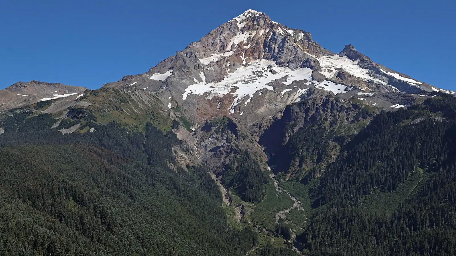

Nobody has measured the volume of the lake at the foot of the Coalman Glacier, just below the summit, but the order-of-magnitude estimate is roughly 50 000 cubic metres, about 20 Olympic swimming pools. A preliminary measurement showed slightly acidic water. The Cascade volcanoes nevertheless remain at their normal level, and the USGS does not expect any impact on inhabited places.
01Observation
What the USGS actually observed
USGS scientists noticed the change on 6 October 2026 during a routine helicopter flight and described it in the weekly Cascades Volcano Observatory report of Friday 23 October. This is not a new lake. It is a seasonal meltwater feature, only much larger this year.
A water sample taken in the week before the report of 23 October had a preliminary pH of 4, about ten times more acidic than black coffee. The USGS describes such conditions as mildly acidic.
The NORMAL alert level and the GREEN aviation colour code in the report of 23 October apply to all the Cascade volcanoes in Washington and Oregon, not to Mount Hood alone. Routine airborne gas measurements at Mount Hood showed normal background degassing.
| Item | Status | Note |
|---|---|---|
| The lake is larger than in previous years | Status: observed | Note: on 6 October 2026 from a helicopter |
| Water volume | Status: unknown, estimate only | Note: on the order of 50 000 m³, about 20 Olympic swimming pools |
| Water pH | Status: preliminary measurement | Note: pH 4 from a sample collected in the week before the report of 23 October |
| NORMAL and GREEN level | Status: applies to the whole Cascades | Note: not to Mount Hood alone |
02Good to know
A dam of weathered rock is holding for now
The lake sits in a basin between the rock formation Crater Rock, the cliffs running down from the summit and a feature called Devil's Kitchen. The latter forms a dam made of hydrothermally altered rock and glacial moraine. The USGS describes it as a long-lived feature that appears stable based on current observations.
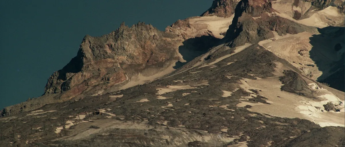

If all the water were released suddenly, the USGS says it could trigger a debris flow, a surge of mud and rubble that on volcanoes is called a lahar. It would run down the White River valley and could reach the bridge on Highway 35. The terrain would keep it out of the Sandy River valley and away from Timberline and Government Camp.

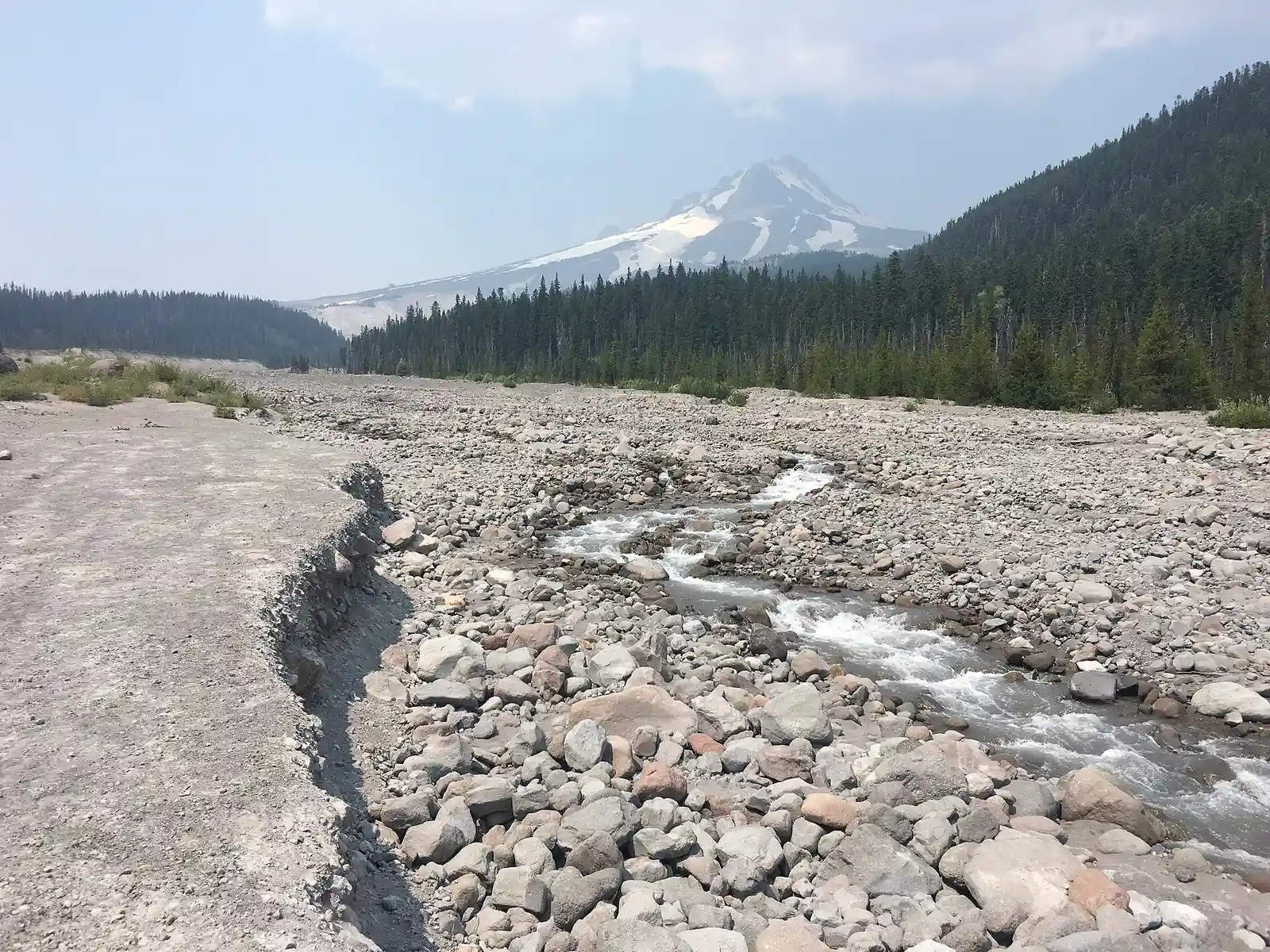

According to the USGS, Mount Hood is an active volcano close to fast-growing communities, recreation areas and transport routes, and so it poses an elevated risk. Over the past century the most damage to roads and bridges has come from flows on the White River, Newton Creek, Eliot Branch and Ladd Creek.
03Iceland
Sudden outbursts of water are known in Iceland too
After the Gjálp eruption at the turn of September and October 1996, glacial meltwater collected in the Grímsvötn caldera and burst out several weeks later, on 5 November 1996. Peak discharge reached 33 000 m³/s on the Gígjukvísl and 22 000 m³/s on the Skeiðará, a flow that would empty the entire Mount Hood lake in under two seconds. There, though, the meltwater was supplied by the eruption, whereas at Mount Hood it is seasonal meltwater.
04Glacier
The Coalman Glacier below the summit
The Coalman Glacier lies just below the summit on the southern side of the mountain. According to the Oregon Glaciers Institute, its area shrank by roughly 73 % between the '50s of the last century and the '20s of this one, and the last observation dates from 2021. That figure says nothing about the cause of this year's lake.
| Period | Area |
|---|---|
| The '50s (20th century) | 0.210 km² |
| The '20s (21st century), last observed in 2021 | 0.057 km² |
05What next
What to watch for in the weekly reports
The USGS, together with the Forest Service, the National Weather Service, Portland Mountain Rescue and other agencies, is preparing further measurements and an assessment of the lake's stability. The observatory promises further updates as conditions develop, so its weekly reports will be decisive. Fakt počasí's live tools have nothing to add here.
Sources5 sources · every number and claim in the article comes from them
- USGS Cascades Volcano Observatory, weekly report of 23 October 2026 (weekly report of 23 October 2026)
- Oregon Glaciers Institute
- USGS, Lahars and Debris Avalanches at Mount Hood, Oregon
- USGS, Hazards Summary for Mount Hood
- USGS, Vatnajökull Jökulhlaup (photo by Oddur Sigurðsson, Icelandic Meteorological Office) (photo by Oddur Sigurðsson, Icelandic Meteorological Office)