
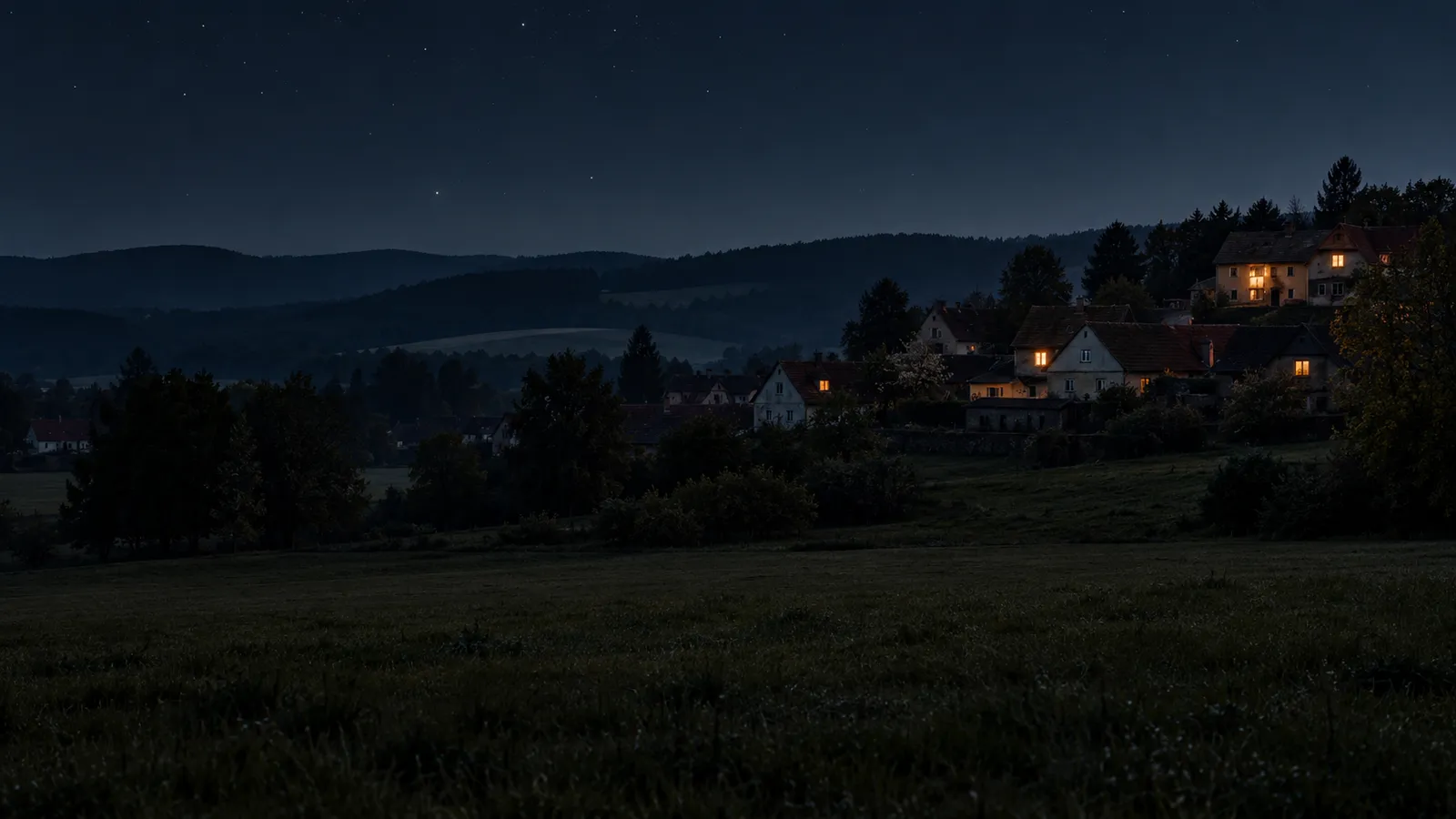
The tremor came at 0:34 and its focus lay at a depth of roughly nine kilometres. It was picked up by the seismic station in Přimda, about nine kilometres north of Bělá nad Radbuzou, and on the Bavarian side of the border it was felt by people in Waidhaus and Eslarn, among other places.
01Night into 23 October
A tremor outside the main swarm area
According to the published map of reports, dozens of people noticed the tremor, some of them more than 40 kilometres in a straight line from Bělá nad Radbuzou.

Bělá nad Radbuzou does not lie in the swarm area near Cheb, but further south around Přimda, which belongs to the same seismically restless west of Czechia, only the ground shakes there less often. The last stronger tremor in this area before this year's came on 15 October 2022 and had a magnitude of 2.2.
02Curiosity
The five and a half near Rokycany that never was
In July 2026 the reports snowballed through newsrooms about a strong earthquake of magnitude 5.5 with its epicentre in the Rokycany area. They were based on data from the German centre Geofon, whose automatic system had wrongly interpreted the records of European stations. The European-Mediterranean Seismological Centre took the data over and from there they spread quickly further.
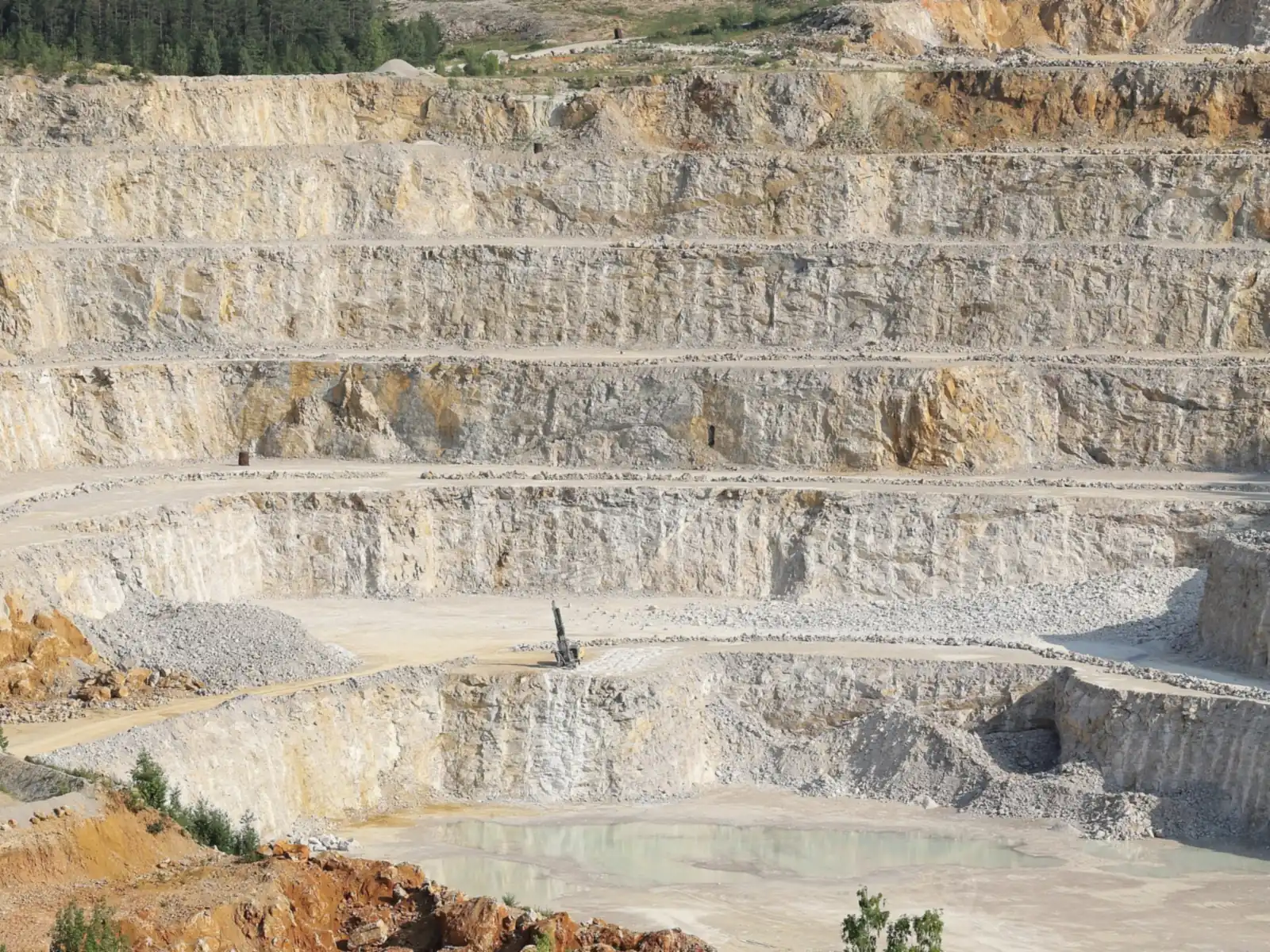
In reality it was a faint tremor shortly after six in the evening, which according to the Geofyzikální ústav (the Institute of Geophysics) was caused by a routine industrial blast at the Čertovy schody (Devil's Steps) quarry near Beroun. In its press release on Friday the institute backed this up with the daily seismogram from its most sensitive station in Kašperské Hory, dated Thursday 9 July 2026, which shows no earthquake all day that anyone could have felt. The Czech observatories recorded the blast but did not classify it as an earthquake the public needed to be told about.

Geofon later corrected its assessment, lowered the magnitude to 1.5 and labelled the event a probable industrial blast. A spokesman for GFZ explained that the blast data from regional seismometers had been mixed with data from much more distant stations, so the supposed strength was based on too little and, above all, incorrect data. According to him, an error of this scale had not occurred in more than 20 years.
The position of the focus is determined from such recordings by timing differences. Primary waves travel faster than secondary ones, so the gap between their arrivals at a station gives the distance, and circles with these radii around three stations intersect at the epicentre. The depth and magnitude are then refined by further stations and by an analyst, which is why the first automatic figure may change after checking.

In the west of Bohemia this is watched by the dense local network WEBNET, which has operated since 1994 and, after modernisation in 2008, had 23 stations within an epicentral distance of 25 kilometres. The closer the stations are to the foci, the more closely the swarms can be followed.
03The answer
Why the west of Bohemia is the part that shakes
Earthquakes in Czechia occur most often in western Bohemia in the Chebsko region (the area around the town of Cheb), and repeatedly also in the Opava area and around Hronov. Chebsko has a typical form of activity, the earthquake swarm. The stress is not released in a single shock, but in a sequence of up to thousands of tiny tremors lasting from a few days to two to three months.
The most intense seismicity is concentrated in the Nový Kostel zone, measuring 3×12 km², where the foci lie along a fault running roughly north–south at depths of 6 to 11 km. Most active lately is the left-lateral strike-slip fault on the eastern edge of the Cheb Basin, where two blocks of crust slide past each other sideways.
The area is also geodynamically active. It is linked with Tertiary and Quaternary volcanism, outflows of carbon dioxide, dry and wet mofettes and a great many mineral springs. Mofettes are places where gas from depth rises to the surface, and in a wetland they betray themselves by bubbling water.
The carbon dioxide and helium that rise here come largely from the Earth's mantle, as the composition of the helium shows. Seismologists assume that the swarms are triggered by the pressure of gases and water rising into faults, but the exact mechanism is still being studied.

Swarms here are nothing new. They have been well documented since the early 19th century, and larger ones came, for example, in 1897, 1900, 1903 and 1908. The strongest instrumentally recorded swarm took place in 1985 and 1986, with two main shocks of local magnitude 4.6 and 4.2.
Weak microtremors in the northeast of Bohemia, observed in the area of the Hronov–Poříčí fault, also have a swarm character. Swarms are therefore not only a Chebsko peculiarity, but they are most frequent there.
04Strength of tremors
How strong earthquakes here tend to be
The local magnitude of tremors in western Czechia rarely exceeds 4.0. The table lists the tremors mentioned in the article from the weakest to the strongest instrumentally measured.
| Magnitude | Where and when | What is known about the tremor |
|---|---|---|
| 2.2 | Where and when: Around Přimda, 15 October 2022 | What is known about the tremor: The last stronger tremor in the area before this year's |
| 3.4 | Where and when: Bělá nad Radbuzou, 23 October 2026 | What is known about the tremor: Felt by people across the border in Bavaria too, and reports came from more than 40 km away |
| 4.6 | Where and when: Nový Kostel in the Cheb area, December 1985 | What is known about the tremor: The strongest instrumentally measured earthquake in Czechia |

According to the director of the Geofyzikální ústav, an earthquake of magnitude 5.5 would be roughly thirty times stronger than the strongest so far in Czechia. A strong earthquake struck northeastern Bohemia in 1901 and also affected groundwater sources, but its magnitude is not given.
05If you feel it
What to do if you felt the tremor
Anyone who felt the tremor can fill in the macroseismic questionnaire of the Institute of Geophysics of the Czech Academy of Sciences (Geofyzikální ústav AV ČR) at www.ig.cas.cz/makroseismicky-dotaznik/ and say whether they noticed it, how it showed itself and how intense it was. Such reports make up a map that shows how far the tremor reached.
Sources7 sources · specific figures come from the sources, the general explanation from expert knowledge
- Seznam Zprávy (ČTK) (Czech News Agency (ČTK) report) (in Czech)
- Novinky.cz (in Czech)
- Blesk (ČTK) (Czech News Agency (ČTK) report) (in Czech)
- Seznam Zprávy (ČTK) (Czech News Agency (ČTK) report) (in Czech)
- EuroZprávy.cz (in Czech)
- Earth System Science Data (Vavryčuk et al. 2022)
- Ústav struktury a mechaniky hornin AV ČR (Institute of Rock Structure and Mechanics of the Czech Academy of Sciences)