

In numbers
3.6MPa
Modelled stress in 2025 on San Jacinto Bernardino, the highest in the thousand-year simulation
1857
Year of the last major earthquake on the San Andreas fault near Los Angeles
46mm/year
How fast the Pacific Plate moves past the North American Plate
For the San Jacinto Bernardino section, the model puts stress in 2025 at 3.6 MPa, the highest value anywhere in the entire thousand-year simulation of the fault system. The calculation describes a critically stressed system, but does not identify the day of the next earthquake.
01The basics
Two plates locked together
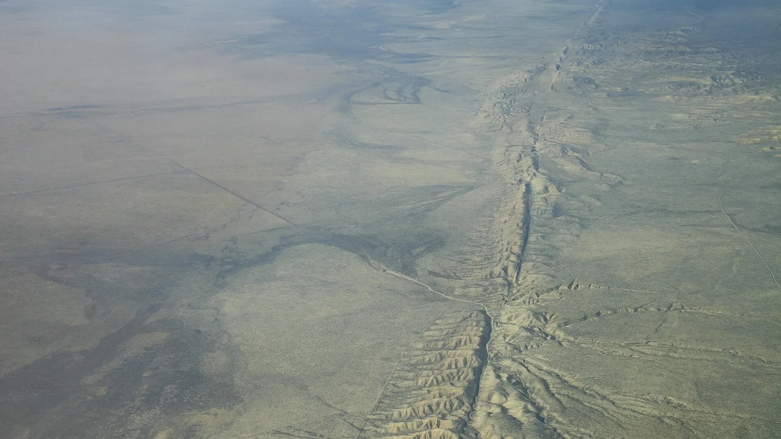
The San Andreas fault runs for roughly 1300 kilometres through California. It separates the Pacific Plate from the North American Plate, with the Pacific Plate moving northwest relative to its neighbour by about 46 millimetres a year.
The plates slide horizontally past each other along the fault, so California will not fall into the ocean. If the movement continues, however, Los Angeles and San Francisco will lie alongside each other in millions of years.
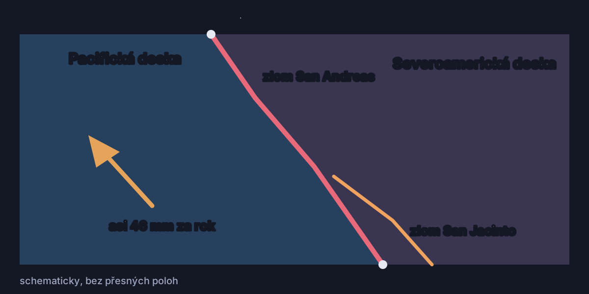
In southern California, the San Jacinto fault runs parallel to the San Andreas. Together, the two accommodate most of the plate movement in the region. Where the rocks lock together, stress builds until it is released in an earthquake.
The last major earthquake on the San Andreas fault near Los Angeles struck in 1857. The Fort Tejon earthquake had a magnitude of 7.9 and ruptured almost 360 kilometres of the fault. Los Angeles has since experienced powerful earthquakes on other faults, including Northridge in 1994, but the southern section of the San Andreas concerned has not experienced a rupture of similar size.
02The study
What exactly the scientists calculated
A team led by Liliane Burkhard of the University of Bern developed a physical model of the southern part of the fault system. Researchers from the University of Hawaii, the US Geological Survey (USGS) centre in Pasadena and the Scripps Institution collaborated on the work. The study was published in June 2026 in the Journal of Geophysical Research Solid Earth.
The study estimates stress at depth using a physical model. The researchers fed it a thousand years of earthquakes documented by radiocarbon-dated layers, tree-ring anomalies and historical records of cracks in the ground. The model tracks how stress is redistributed after earthquakes and then builds up again.
For the San Jacinto Bernardino section, the model calculated stress of 3.6 megapascals in 2025, higher than at any time or place in the entire thousand-year simulation. For the neighbouring section of the San Andreas known as Mojave South, it calculated 2.8 megapascals.
“The study is not a prediction of when an earthquake will happen,” Burkhard stresses. “We can say that the system is critically stressed.” The model therefore describes the state of the faults, rather than the date of the next earthquake.
03Cajon Pass
The gateway at Cajon Pass near Los Angeles
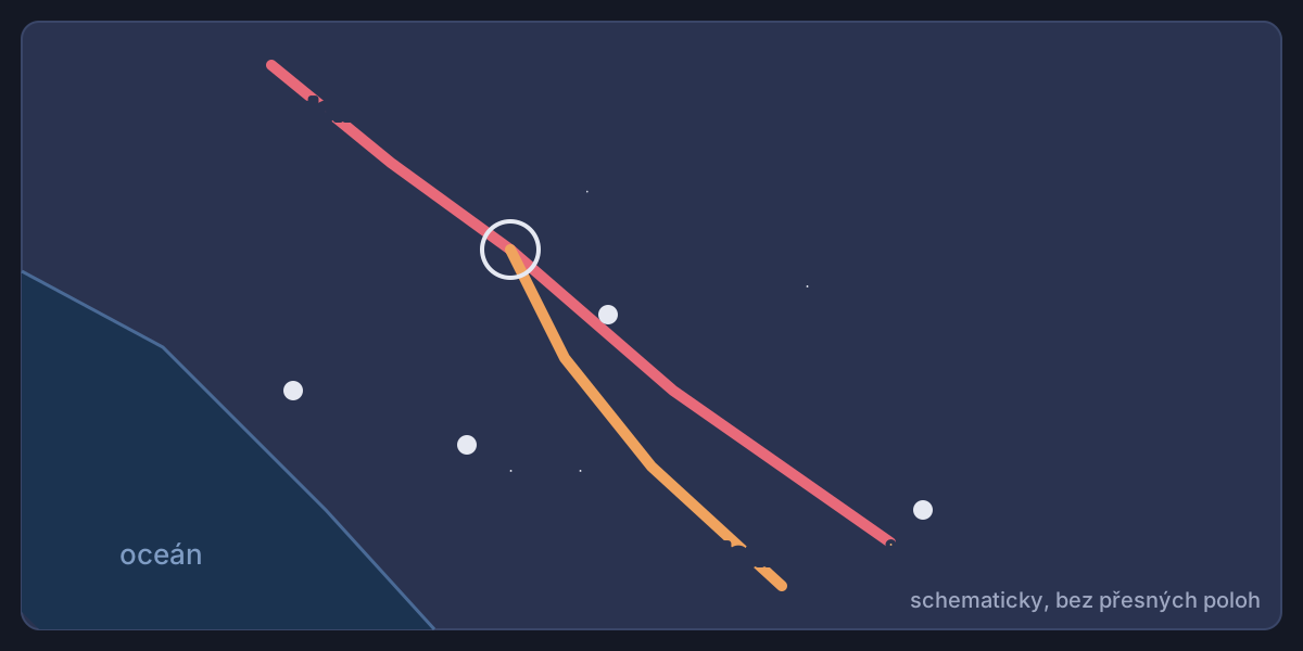
Northeast of Los Angeles, the two fault systems approach each other at Cajon Pass. The study’s authors compare it to a gateway that can stop a rupture on one fault or allow it to continue onto the other.
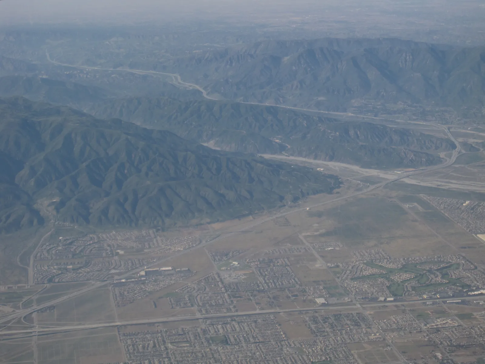

Reconstructions of the two events show two possibilities. The Fort Tejon earthquake in 1857 stopped near the pass without reaching the San Jacinto fault. According to the reconstruction, the Wrightwood earthquake of 1812 passed through the junction and ruptured both fault systems.
The model suggests that the similarity of stress on the two faults also matters. When stress on neighbouring sections rises in parallel towards similarly high values, conditions become more favourable for a joint rupture. In 2025, the model assesses both sections as highly stressed, with relatively similar stress levels.
A joint rupture could affect the wider Los Angeles area, San Bernardino, Riverside and the Coachella Valley. With major roads, railways and energy infrastructure running through it, the pass is among the region’s vulnerable locations.
The USGS ShakeOut scenario models a magnitude 7.8 earthquake on the southern San Andreas fault. At a particular point near Cajon Pass, the largest simulated ground movement reaches 3.1 metres.
04Prediction
Why no one knows the date
Stress shows that a fault is under strain, not when it will give way. Seismologists therefore calculate long-term probabilities rather than identify a particular day. This study does not predict the date of the next earthquake either.
Parkfield in central California illustrated the problem. Between 1857 and 1966, earthquakes struck there six times at strikingly regular intervals, leading scientists to expect the next before 1993. But the magnitude 6.0 earthquake did not arrive until 28 September 2004.
California therefore uses early warning. ShakeAlert operates on the west coast with more than 1300 seismic sensors. Once an earthquake begins, it estimates its location, magnitude and intensity within seconds. A warning may reach some places before the strong waves do.
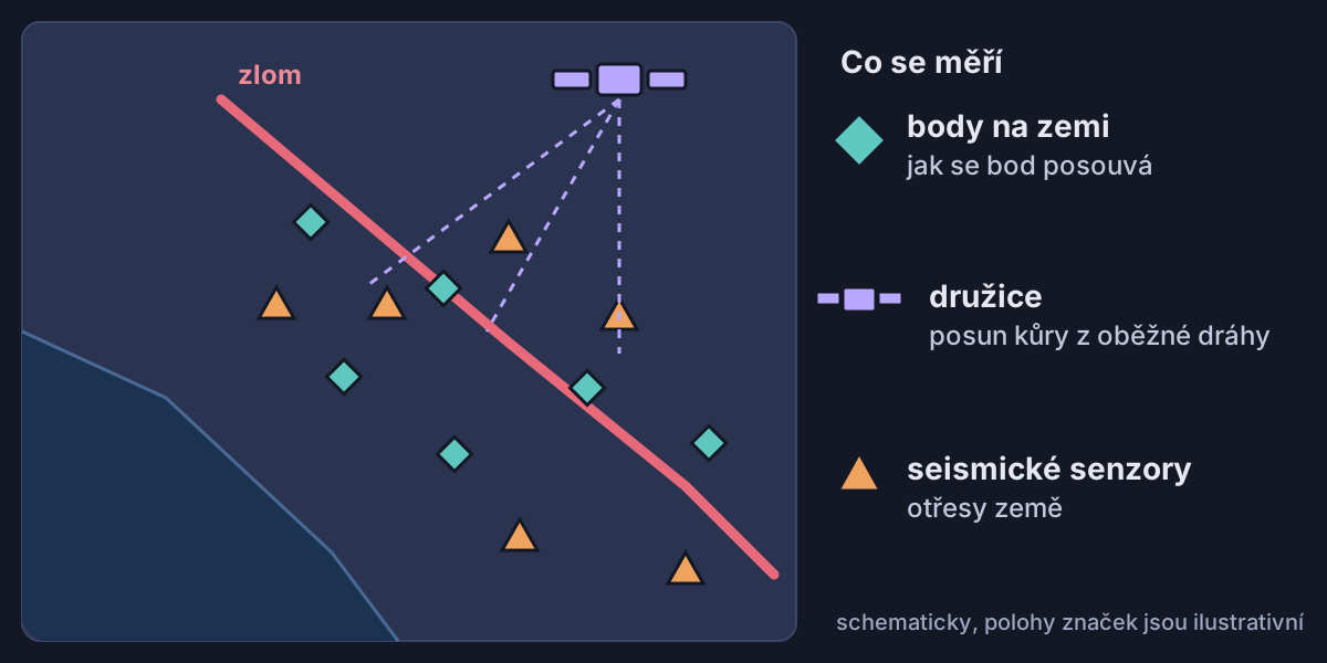
If a warning arrives in time, people can follow USGS advice to drop to the ground, take cover under a sturdy table and hold on. The warning time varies with location and distance from the earthquake as it begins.
05Carrizo
The fault that bends fences into an S
The San Andreas fault does not behave the same way everywhere. Its central section creeps by about 28 millimetres a year without major earthquakes, while elsewhere it remains locked. An earlier survey on the Carrizo Plain, using roads and fences built after 1857, found no measurable creep over the 100 years studied.
During the earthquake in 1857, the western side of the fault at Carrizo shifted roughly 9.5 metres north, turning a circular sheep pen into an S shape. The channel of Wallace Creek has shifted by about 128 metres over roughly the past 3800 years.